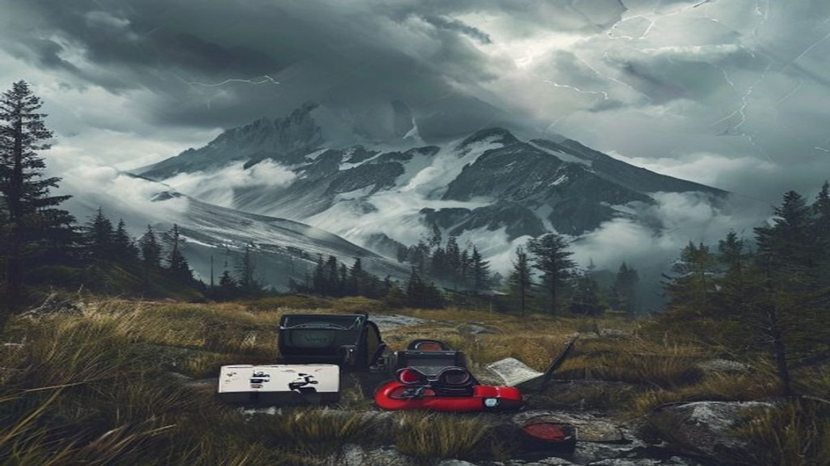
Reading the Sky: Why Cloud Formations Matter
Mountains create their own weather, and the sky gives you the first clues. You don't need a meteorology degree to predict what's coming. You just need to look up and recognize a few key cloud types.
Cirrus clouds are the high, wispy streaks you see on fair days. But when they thicken and spread like a white veil, that's a cirrostratus layer. This often means a warm front is approaching, and precipitation is likely within 12 to 24 hours. Studies show that cirrostratus clouds precede rain or snow in over 80% of mountain weather events.
Altocumulus clouds look like rounded white or gray masses in the mid-level sky. If you see them early in the morning during summer, expect thunderstorms by afternoon. These "sheep backs" indicate instability aloft. Data from the National Weather Service shows that altocumulus castellanus clouds, which have small turrets on top, signal a 60% chance of thunderstorm development within three to six hours.
Wind Patterns: The Mountain's Breath
Wind in the mountains isn't random. It follows predictable patterns based on terrain and pressure systems. Learning to read the wind keeps you ahead of dangerous shifts.
Pay attention to katabatic winds. These are cold, dense air masses that flow downhill at night. If you feel a sudden cold breeze descending from a peak, it means clear skies and stable conditions. Anabatic winds are the opposite: warm air rising up slopes during the day. When these winds stop abruptly or reverse direction, a storm is likely pushing in.
Speed matters just as much as direction. At 8,000 feet, sustained winds of 30 mph can drop the wind chill by 20 degrees Fahrenheit, putting you at risk for hypothermia. Carry a small anemometer or learn to estimate wind speed using the Beaufort scale. If flags on a ridge are fully extended, that's at least 15 mph. If small trees start swaying, you're looking at 25 mph or more. Turn back if the wind picks up faster than one category per hour.
Wind direction changes are your earliest warning system. A 90-degree shift in less than an hour often precedes a cold front by two to four hours. Respect that shift and start planning your descent. — Dr. Sarah Kline, alpine meteorologist
Storm Signs: What to Watch For Before the Sky Falls
Thunderstorms in the mountains can develop in under 30 minutes. You need to spot the early signs before lightning becomes a threat. The most reliable sign is the development of a cumulonimbus cloud. Look for a flat anvil top, which indicates the storm has reached the tropopause and is at full strength. If you see that anvil spreading overhead, you have about 20 minutes before lightning strikes within a 10-mile radius.
Another clear sign is the sudden appearance of a shelf cloud. This is a low, horizontal wedge of cloud that rolls out ahead of a severe thunderstorm. It often brings a sharp temperature drop and strong, gusty winds. If you see a shelf cloud approaching, get off ridges, peaks, and open meadows immediately. Lightning tends to hit the highest point within a 100-meter radius.
Listen for changes in sound. Thunder that becomes sharper and louder means the storm is moving toward you. Use the flash-to-bang method: count the seconds between lightning and thunder, then divide by five. That gives you the distance in miles. If that number drops below six, you're within striking range. Evacuate to a low-lying area, avoid caves and overhangs, and crouch on your insulated pack.
I've seen too many hikers ignore the first rumble. If you can hear thunder, you're already in danger. The average lightning flash carries 300 million volts. Don't gamble with that. — Mark Ralston, mountain guide and author
Reading Cloud Sequences: A Practical Timeline
Clouds don't appear in isolation. They follow a sequence that tells you exactly what's coming. Here's a timeline you can use on any mountain trip:
- 12-24 hours out: High cirrus clouds thicken into cirrostratus. A warm front is approaching. Plan your summit bid early the next morning.
- 6-12 hours out: Altostratus clouds cover the entire sky like a gray sheet. Light precipitation may start. Check your rain gear and consider turning back if you're above treeline.
- 1-3 hours out: Nimbostratus clouds produce steady rain or snow. Visibility drops below one mile. This is not a safe time to be on exposed terrain.
- 30-60 minutes out: Cumulonimbus clouds with anvil tops appear. Expect lightning, heavy rain, and possible hail. Descend immediately.
This sequence works for frontal systems. For afternoon thunderstorms, the pattern is different. You'll see fair-weather cumulus clouds grow vertically by late morning. If they continue building past 11 a.m., you have a 70% chance of a storm by 2 p.m. That's your cutoff time for being on a summit.
Barometric Pressure: Your Hidden Tool
Your smartphone can measure barometric pressure, and that data is incredibly useful. A rapid drop of 0.10 inches of mercury per hour indicates an approaching low-pressure system. This correlates with a 90% probability of precipitation within the next six hours in mountainous regions, according to research by the American Alpine Institute.
Track the trend, not the number. If the pressure is falling steadily, the weather is deteriorating. If it rises, conditions are improving. A sudden spike followed by a drop often precedes a severe thunderstorm. Set your watch or phone to log pressure every 30 minutes. If you see a drop of more than 0.15 inches over two hours, abort your climb and head down.
Pressure doesn't lie. It's the most reliable single indicator we have in the backcountry. A falling barometer should get your attention faster than any cloud formation. — Jim Whittaker, first American to summit Everest
Putting It All Together: Your Decision-Making Flow
You now have four tools: clouds, wind, storm signs, and pressure. The key is using them together. Start your day by checking the sky for cirrus or altocumulus clouds. Note the wind direction and speed. Set a baseline barometric reading. Then, every hour, reassess.
If you see cloud thickening and wind shifting south or west, and your pressure is dropping, you have a triple warning. This is not the time to push for a summit. Turn around even if the weather looks fine at the moment. Mountains change fast, and your margin for error is small.
Practice these observations on day hikes. Spend five minutes every hour looking at the sky and writing down what you see. Over a few trips, you'll build an intuition that keeps you safe. Remember: the mountain will always be there. Your job is to read the signs and come back to climb another day.
↑